Identity
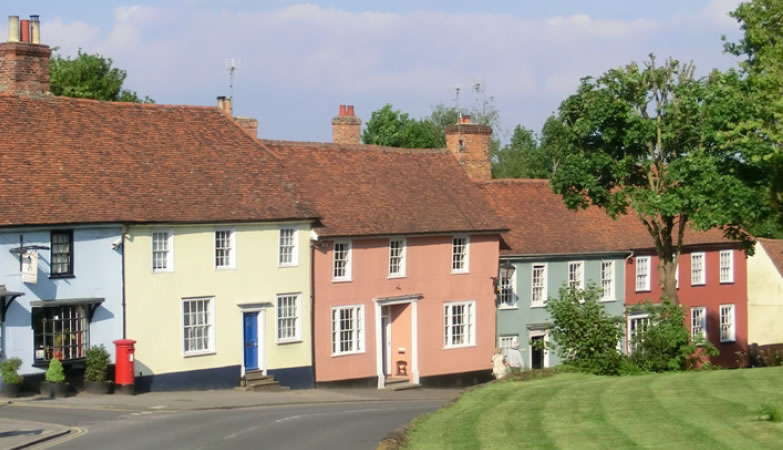
The National Design Guide indicates that the identity or character of a place comes from the way that buildings, streets and spaces, landscape and infrastructure combine together and how people experience them. Local character makes places distinctive and memorable and helps people find their way around.
This includes:
I1: Respond to existing local character and identity
I2: Well-designed, high quality and attractive places and buildings
I3: Create character and identity
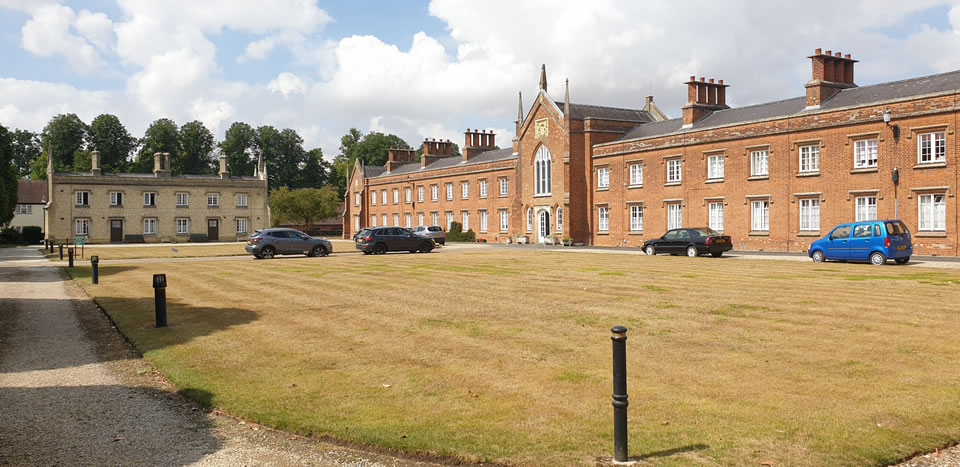
Identity Expected Outcome I1
Respond to existing local character and identity
I.1 Developments must demonstrate an understanding of the story of the place; its history, culture and associations.
I.2 Proposals must include an analysis of local character including building form, layout, topography, typical local materials and details.
I.3 Developments must include a response to Section 3. Uttlesford Places. This should be prepared at pre-application stage and discussed with Officers.
I.4 Proposal should utilise Uttlesford Places and the Street Character Types set out with section 4.6 Public Spaces to reinforce character and identity within developments.
I.5 Applicants should develop a strategy to demonstrate legibility and identity within the proposals, which may help to reinforce local identity and/or create a fresh identity for the new place.

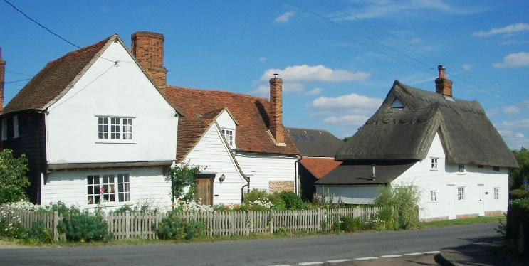
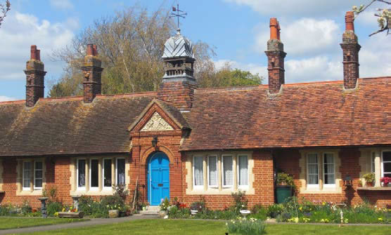
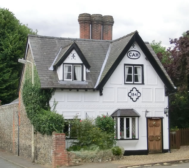
Roof Form
I.6 Proposals should clearly demonstrate how they have reflected the variety and varied roofscape of Uttlesford.
I.7 Continuous repetition of roof forms and uniform ridges should be avoided.
I.8 Roof articulation and setbacks should be considered on upper storeys to reduce the impact of massing or height.
I.9 Gables facing the street should be considered to articulate corners and break long roof lines.
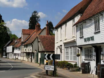
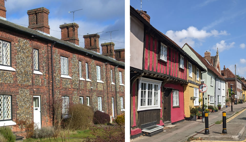
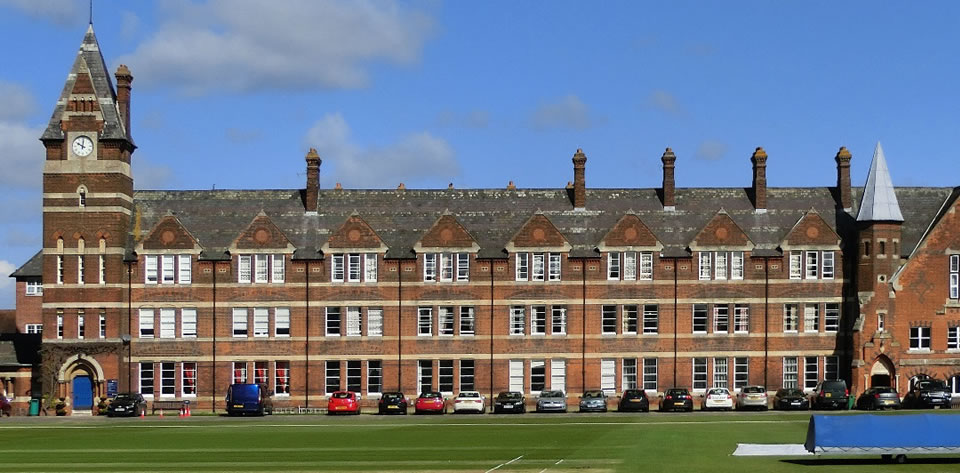
Composition and Verticality
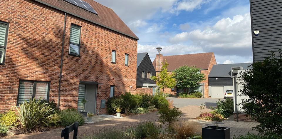
I.10 New developments should utilise the vertical rhythm and narrow, joined building compositions prevalent across Uttlesford within their designs.
I.11 Contemporary buildings should preserve the characteristic of verticality and commercial buildings. Where modern floor plates are required (such as for mixed-use development) facades should incorporate dividing elements to create vertical segments.
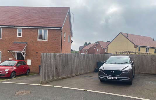
What we don’t want to see
- Poorly designed schemes which could be anywhere. Use of inappropriate building materials, scale and form that don’t reflect the character or identity of the area.
- Poorly designed buildings with poor proportions and a lack of design connection to the context.
- Developments which lack coherence, legibility or consideration of durability of materials and details.
- Crude level changes and excessive ground works and retaining structures.
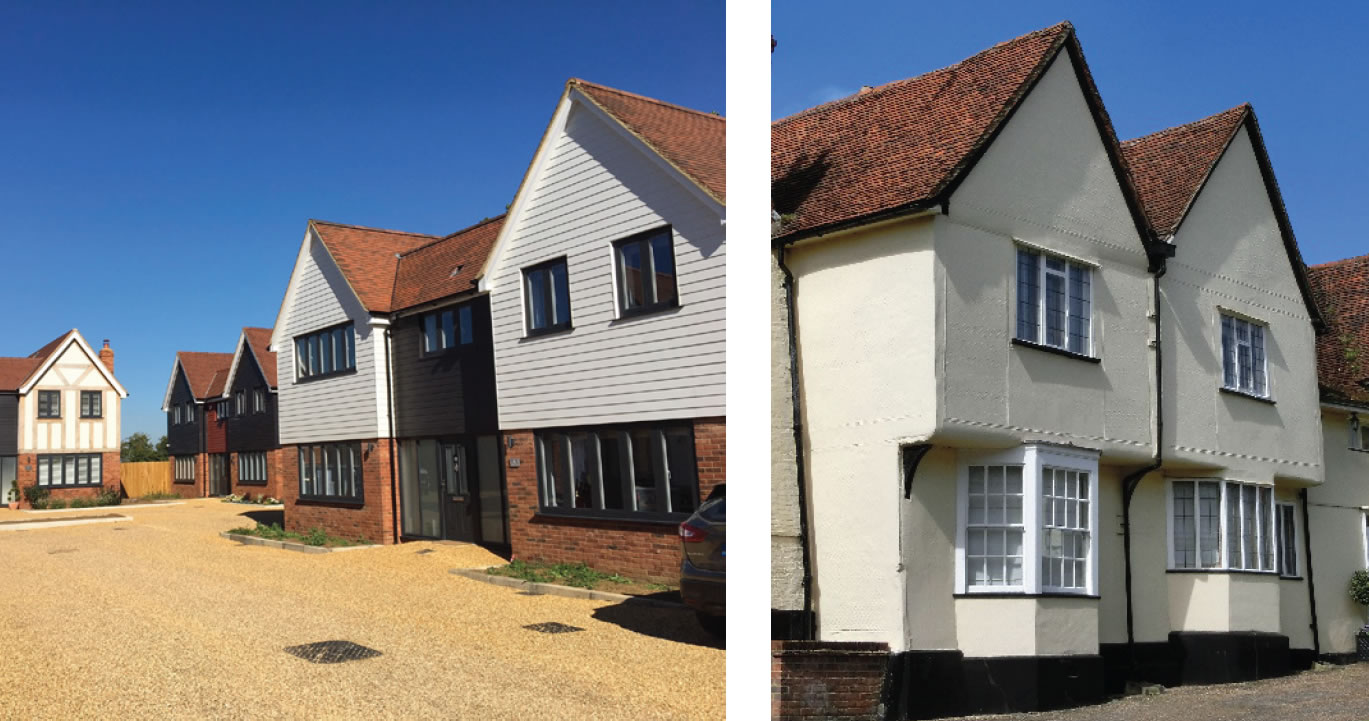
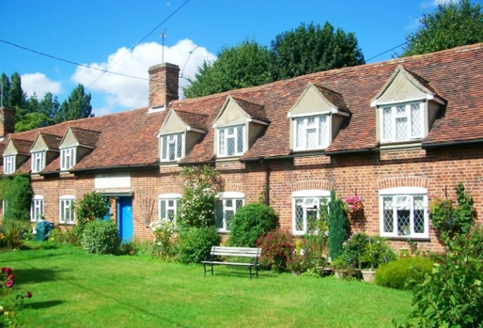
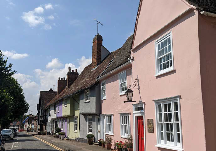
Variety and Contrast
I.12 New developments should utilise variety and contrast to create vibrant and rich places.
I.13 Proposals should take inspiration from the local palette and uses materials and colours that respond to landscape setting and landscape character. (see section 3 Uttlesford Places)
I.14 Proposals should encourage the re-use of redundant farm buildings, especially red brick or black timber-framed and boarded barns.
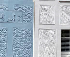
Patterning and Detailing
I.15 Proposals should take inspiration from local patterns, colours and detailing, responding to Uttlesford Places and the special characteristics of the area within which the development is located.
I.16 Proposals should consider the use of surface relief and depth of shadow to avoid flat facades. The use of deep reveals is encourages to emphasis building details and offer solar shading.
Urban Grain
I.17 Any new development must respond to historic settlement pattern, especially urban grain, scale and density.
I.18 Within larger new developments the characteristics of historic urban grain should be used as a tool for legibility for example defining the core of new neighbourhoods and key routes through use of tighter urban grain.
I.19 Opportunities to re-stitch historic urban grain will be encouraged.
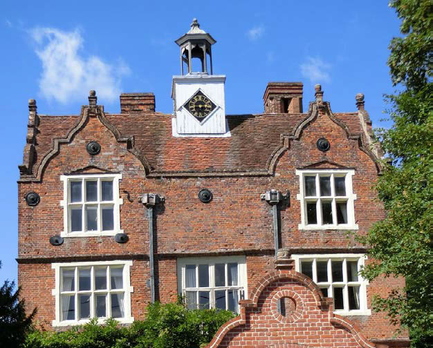
Landmark Buildings
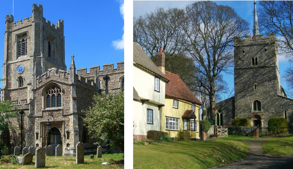
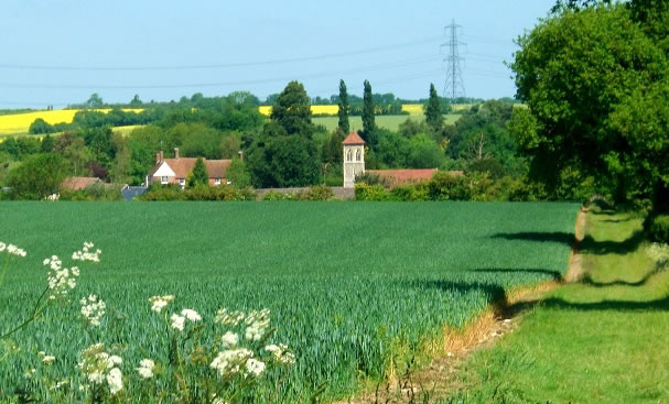
I.20 A celebration of local landmarks is important to the identity of Uttlesford. Views to these landmarks may be framed by buildings, defined vistas, revealed sequential views or glimpsed views over the skyline.
I.21 Open views to historic buildings and local landmarks like churches must be conserved.
I.22 New development should utilise focal buildings and create new landmarks to create reference points and enhance identity.
I.23 The sensitive conversion of barns which respects traditional materials, built fabric and landscape character will be encouraged.
Topography
I.24 Where topography is a key component of a site, proposals should clearly demonstrate how they reflect the topographical characteristics of Uttlesford.
I.25 Building forms and massing should respond to topography, staggering heights to step up or down.
I.26 Long uniform ridge / eaves lines should be avoided.
I.27 Proposals should take advantage of opportunities to utilise topography to capture and maximise views, particularly to the surrounding countryside, or landmark buildings.
I.28 Proposals should draw from historic patterns to integrate into the landscape and topography.
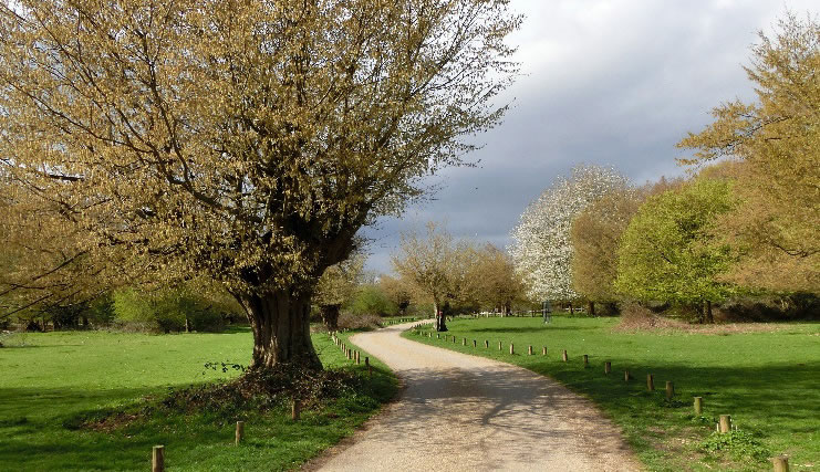
Open Spaces
I.29 New development should demonstrate how they have respected and enhanced the districts green infrastructure and contributed to delivering new green spaces.
I.30 Location of new open spaces should contribute to the identity of place, supporting vibrant and legible places and contributing to creating a network of public spaces.
I.31 Creation of new meeting spaces which take reference from the market squares will be encouraged and should be informed by analysis of the traditional urban morphology.
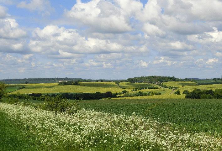
Landscape Identity
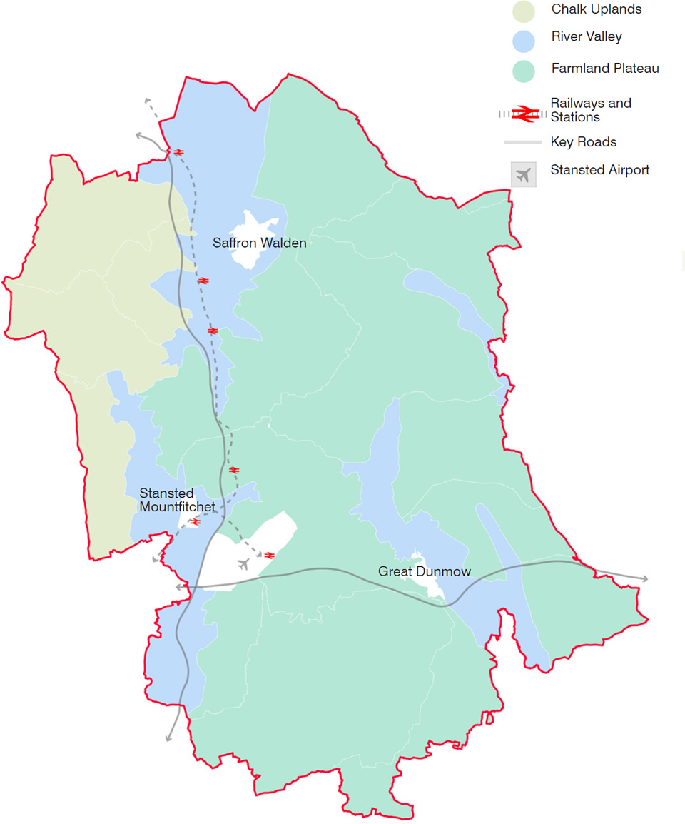
Uttlesford Places explores the landscape character of the districts three overarching landscape character areas; Chalk Uplands, River Valley and Farmland Plateau. Each of these has key characteristics that contribute to giving the landscape its identity.
New developments will be required to understand the landscape character and ensure that proposals respond to the characteristics to preserve the identity of the district.
The below rules apply across the district with key features of identity on the adjacent page. Within Section 4.5 Nature, additional requirements relating to the ecology, planting and nature recovery of each character area are provided.
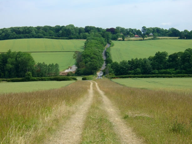
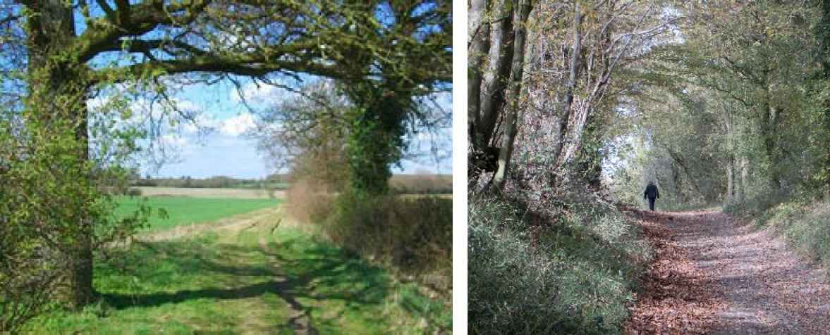
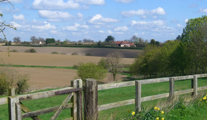
I.32 Proposals must conserve the rural character of the area/ the landscape setting of settlements.
I.33 Development must ensure the scale and siting for any new settlement responds to local landscape character and be well integrated with the surrounding landscape.
I.34 Proposal should conserve historic lanes and unimproved roadside verges.
I.35 Proposals should maintain cross-valley views and characteristic views across and into the valleys.
I.36 All development should conserve and protect panoramic views.
I.37 Schemes should maintain the mixture of open and enclosed views across the hills and valleys.
I.38 Development should seek to appropriately use colour as well as tree planting to mitigate the visually intrusive effects of large modern farm buildings.
I.39 All development should consider the visual impact of new residential development upon landscape character. In most cases a visual impact assessment is required to demonstrate impacts.
I.40 Developments will be required to incorporate a design response to the District's landscape character within applications. This should be informed by the relevant sections of this design code (Uttlesford Places, Identity and Nature) and the Uttlesford Landscape Character Assessment, which provides sub-character areas.
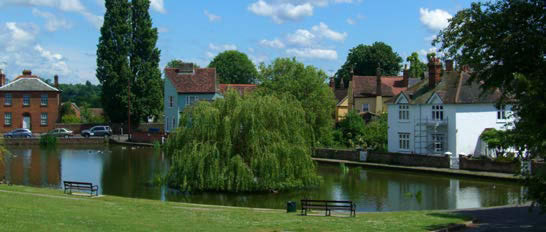
River Valley
I.41 Proposals must protect and enhance the role of the river valleys as a key network of informal open spaces and nature conservation sites which contribute to the identity of the district.
I.42 Schemes must conserve and enhance the green ‘natural’ character of the river valley.
I.43 Development should consider the landscape pattern and structure of large woodland areas and the role that they have in the composition of views to and from the area.
I.44 Proposals should encourage the re-use of redundant agricultural farm buildings, especially red brick or black timber-framed and boarded barns.
I.45 Development must ensure that new riverside planting and other habitat creation is designed to enhance landscape character and that species composition reflects local character.
Chalk Uplands
I.46 Footpath routes should be enhanced with carefully sited woodland to frame views.
I.47 Schemes should manage existing shelterbelts and should plant and site carefully new mixed woodlands and shelterbelts to enclose and emphasise landform.
I.48 Landscape character should be enhanced by planting new beech hangers on carefully sited knolls, hill-tops and scarps to form focal points to reinforce local chalklands landscape where these do not result in the loss of valuable grassland habitats.
I.49 Proposals should respond to the characteristics of water courses alongside roads by integrating swales and ditches for drainage.
Farmland Plateau
I.50 Proposals should respond to (and re-establish where lost) field patterns and margins.
I.51 The layout of schemes within the farmland plateau should be reflective of the traditional dispersed settlement patterns as highlighted in section 3.6.
I.52 Schemes should conserve woodland, copse and hedgerow structure and utilise these characteristics to inform new landscape proposals.
I.53 Wet meadows should be incorporated, and existing wet meadows conserved.
I.54 Proposals should avoid coniferous screen planting. Deciduous tree planting to mitigate developments is encouraged.
I.55 New buildings should be sensitively integrated within the landscape to respect local character and avoid the skyline.
I.56 Barn conversions should respect traditional materials, built fabric and landscape character.
Page updated: 20/07/2023